This page covers project information and resources related to the Planning and Environment Linkages (PEL) study for the State Road 2 corridor in northern Indiana.
S.R. 2 PEL Study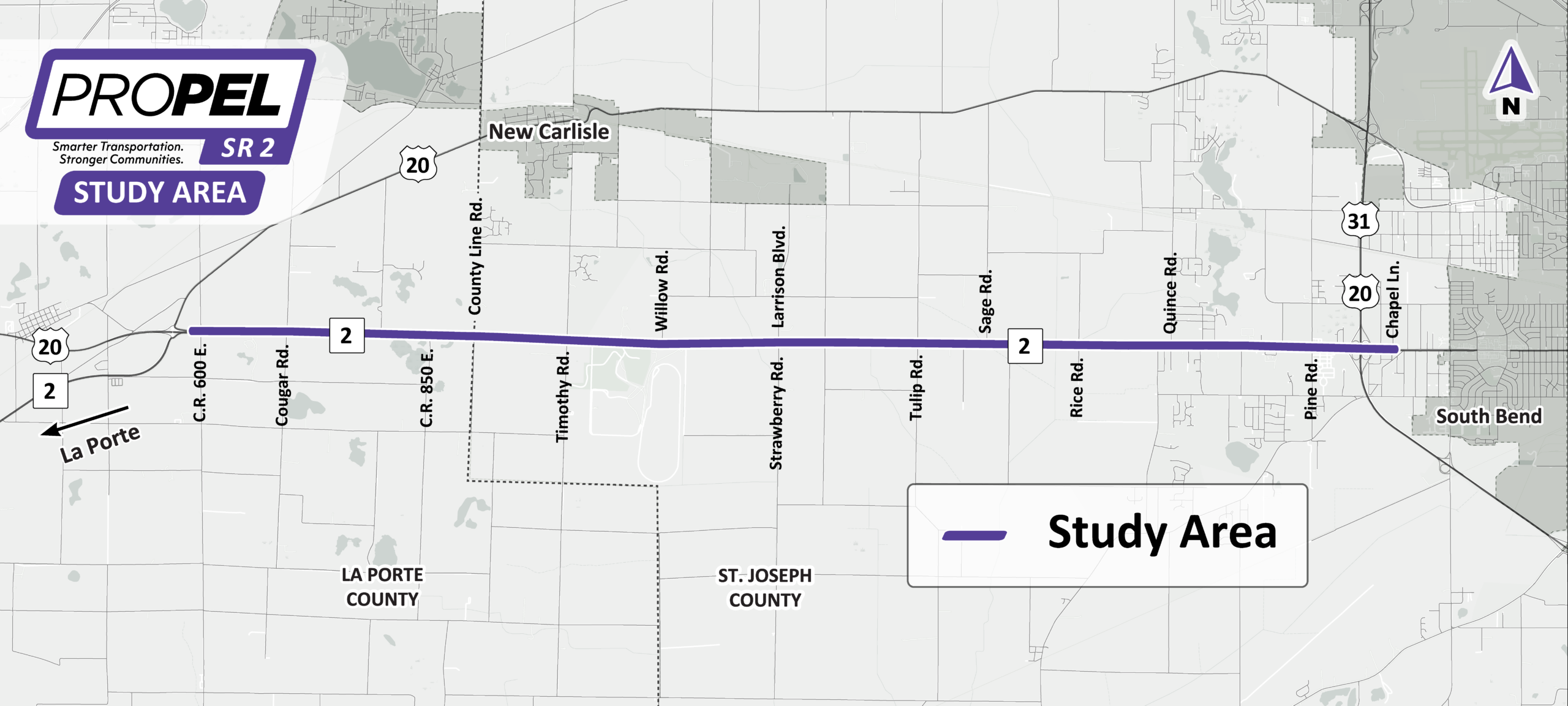
The Indiana Department of Transportation is conducting a Planning and Environment Linkages (PEL) study for the State Road 2 corridor in northern Indiana. The 13-mile study area extends from U.S. 20 in La Porte County to east of U.S. 20/31 in St. Joseph County. This study will help guide future transportation decisions for the S.R. 2 corridor.