To enhance INDOT’s services to the statewide community, an unmanned aerial systems (UAS) program is being implemented. This program will improve INDOT efficiencies and maintain public safety while mitigating risks to airspace, infrastructure, and the users of Indiana’s transportation network.
- Where can you fly your drone?
Drone pilots can fly in controlled and uncontrolled airspace. There are different requirements to you as a pilot depending on which airspace you fly in.
- Can a drone fly near an airport?
Drone pilots planning to fly in controlled airspace must get permission from the FAA. You can submit requests for authorization to fly in controlled airspace near airports via these two systems:
1. Low Altitude Authorization and Notification Capability (LAANC)
2. FAADroneZone - How do I know where it is OK to fly and not OK to fly?
The FAA has developed a mobile app called B4UFLY to help recreational UAS or drone operators know whether there are any restrictions or requirements where they want to fly.
- What does INDOT use UAS for?
Mapping, inspection, emergency response, etc.
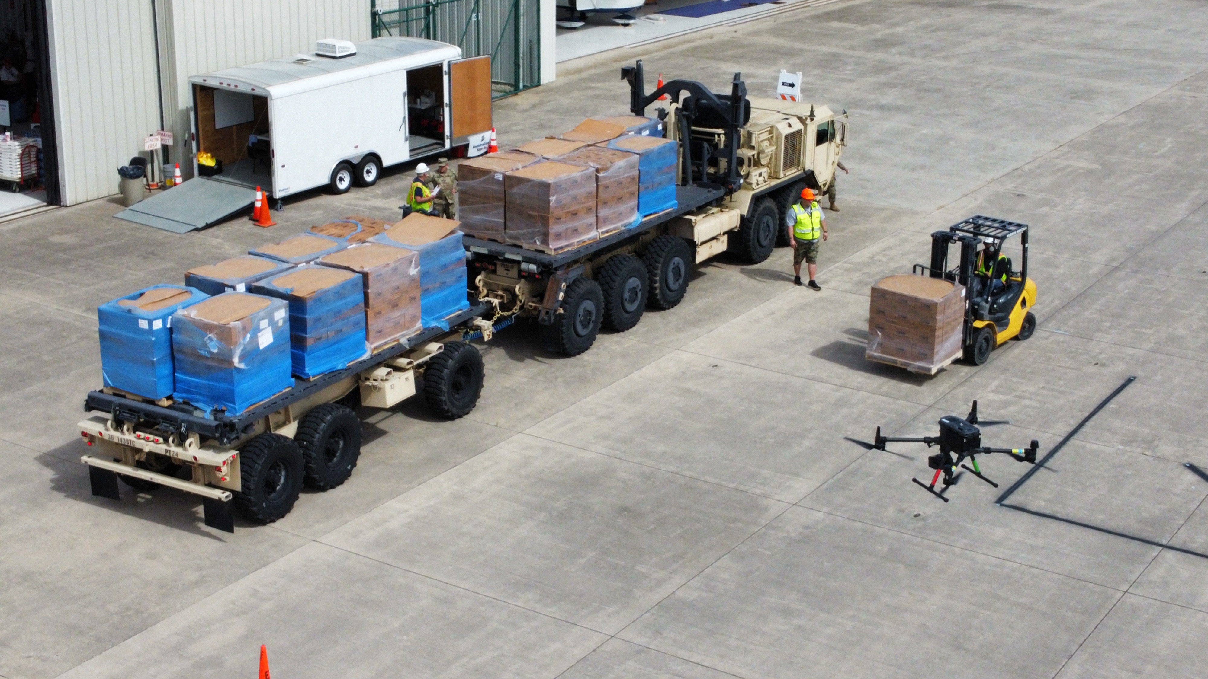
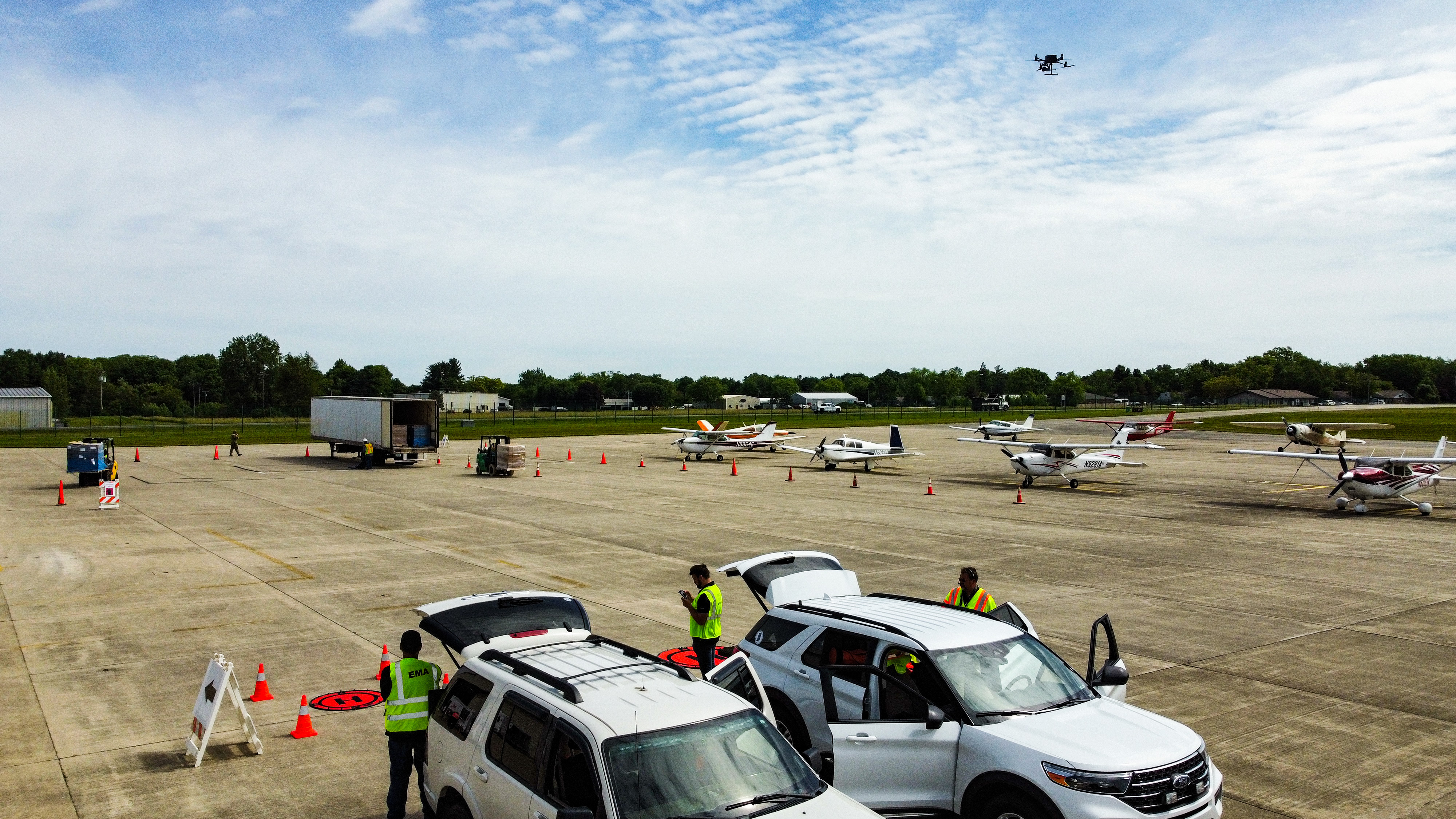
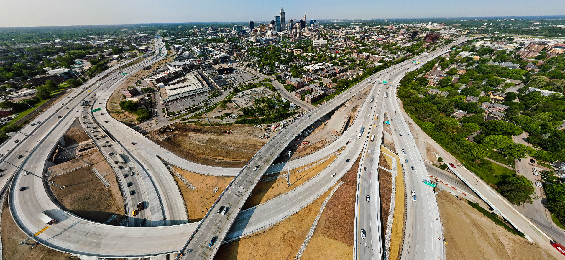
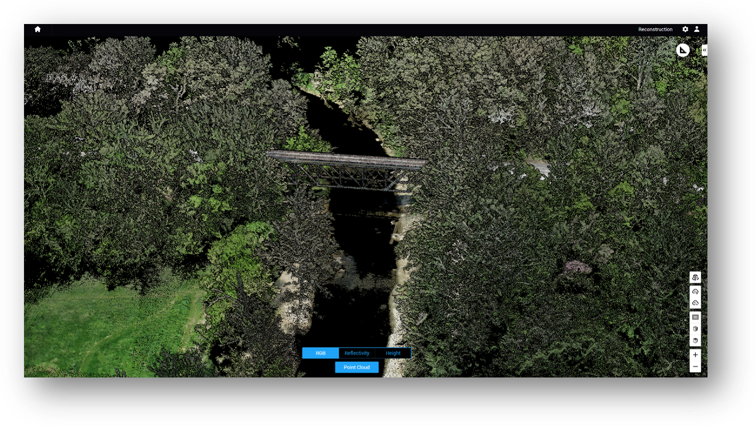
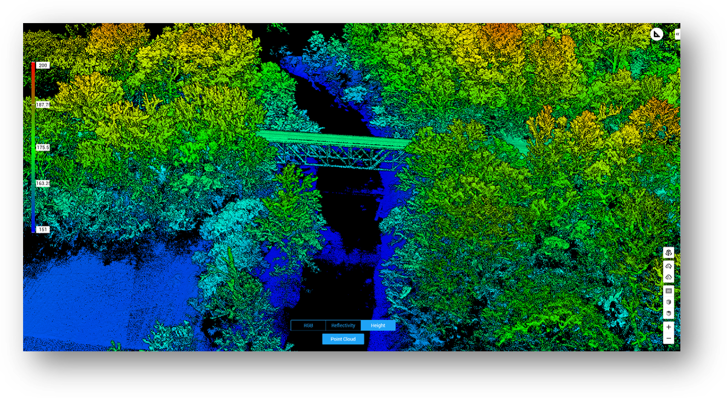
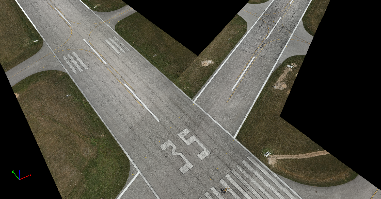
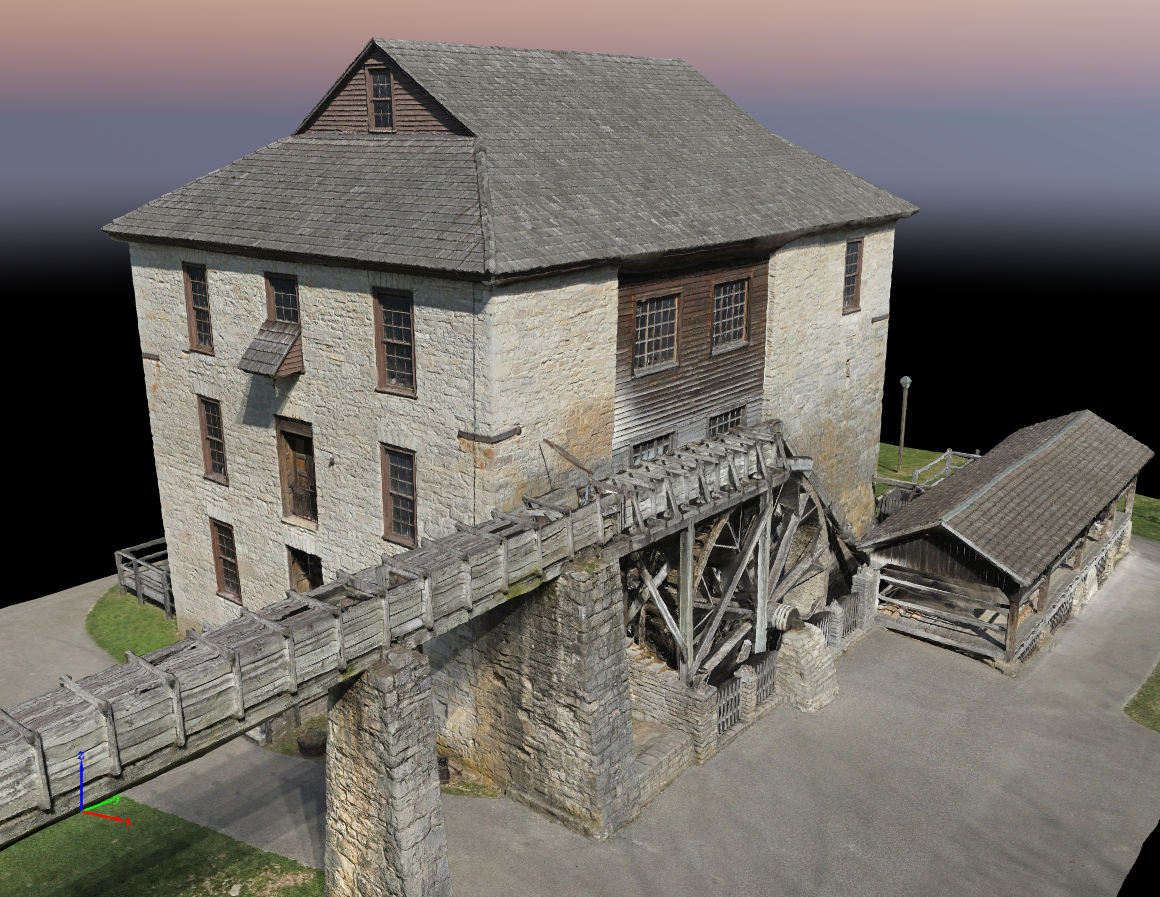
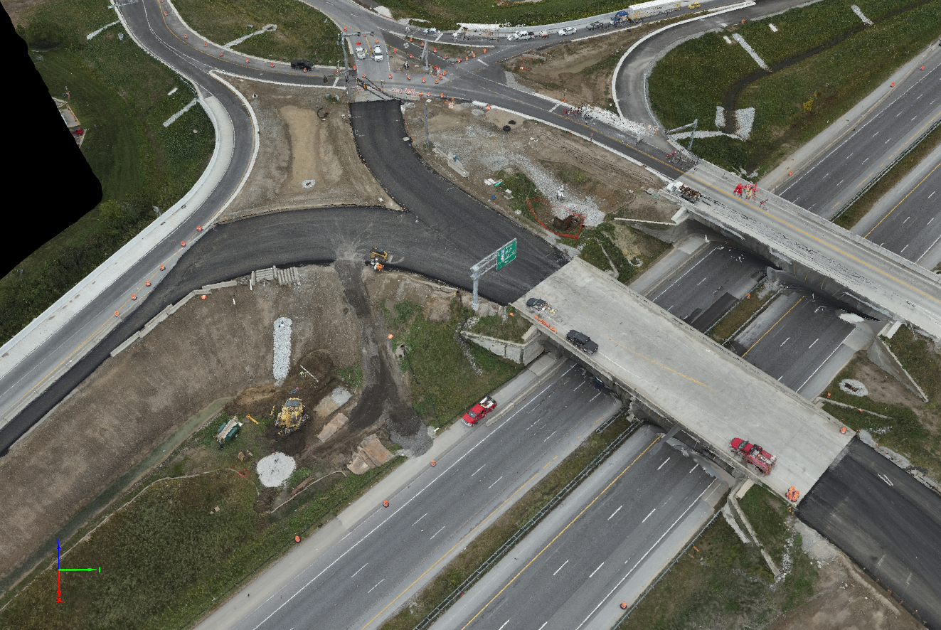
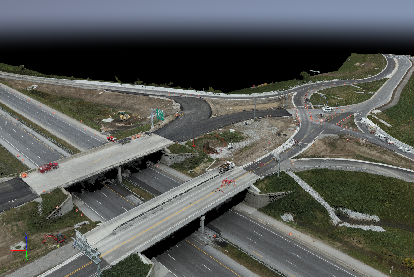
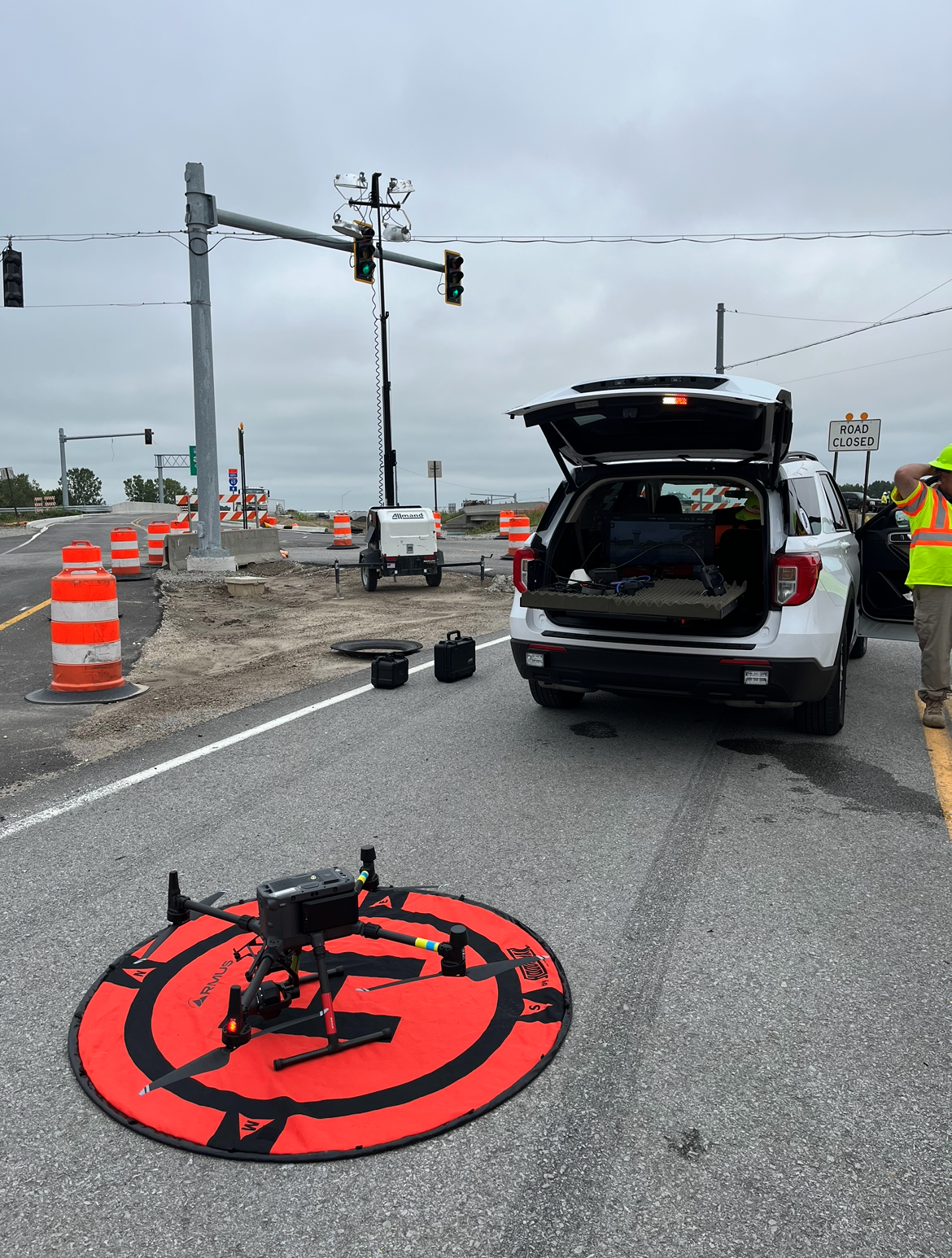
Photo Gallery:
Click picture to enlarge


Contact Us |
James Kinder |