INDOT is keeping history alive by making available its entire catalog of state highway maps on our website.
To view the archived maps, click here.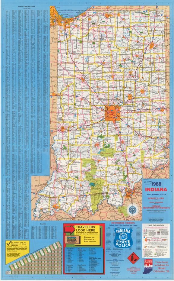
INDOT partnered with the Indiana State Library Digital Collections Department for the project. INDOT had most, but not all, of the official maps to digitize. The library provided digital copies of maps that INDOT was missing. INDOT provided physical maps of the years that the library was missing so that the library could scan them into its system.
Not every year is represented on the new webpage. That’s because, for cost efficiency, maps were sometimes printed every two years. This was especially the case in the 1990s and 2000s. Regardless, the maps illuminate the passage of time.
One can chart the progress of the interstates being built through the years. Other discoveries include various state speed limits throughout the years, including a surprising 65 mph limit in the early 1950s before the interstates were built.
Additionally, the maps contain various safety slogans through the years, including “Be Sure, Be Courteous, Be Safe” (1939) and “Indiana Highway Workers, Gave Them a Brake” (1980s).

