- Tippecanoe River State Park (0)
- None at this time.
- Description
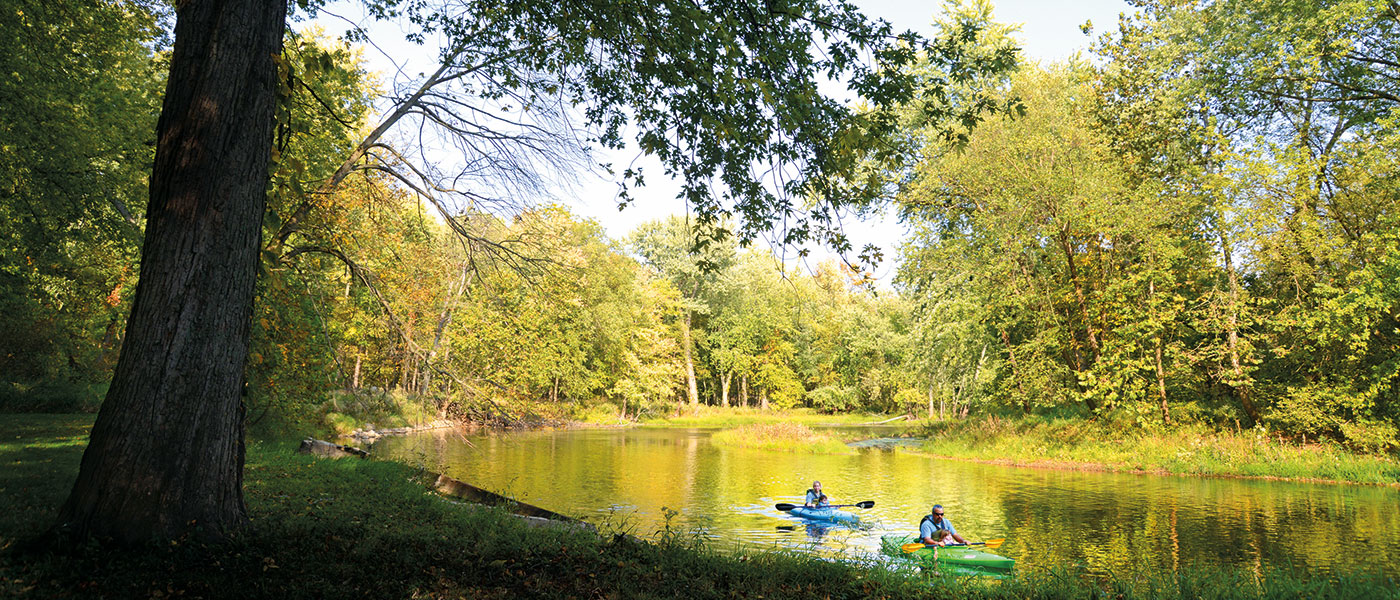
Of course, the river is the big attraction at Tippecanoe, especially for canoers and kayakers; you will need to bring your own equipment or make arrangements with local liveries. The trails are another popular attraction. There are 23 miles of trails, 9 miles of which are for hiking only, and 14 miles of which are a combination of hiking/horse trails. All are rated as easy to moderate.
There are a variety of camping opportunities that include primitive, electric, camper cabins, horse sites, and youth tent areas. Tippecanoe also has several historic structures built by the Works Project Administration (WPA) in the 1930s. One of these structures is a 90-foot fire tower that offers visitors an outstanding view of the surrounding countryside. Another is Tepicon Recreation Hall, which is a popular location for weddings and family reunions.
- Activities
- Picnic areas w/shelters
(Shelter Reservations) - Interpretive Naturalist Services
- Accessible Wildlife Viewing Area
- Boat Launch Ramp
- Bridle Trails
- Cross County Skiing / No Ski Rental
- Fishing
- Hiking Trails
- Rental - Recreational Building
Camping - See campground maps under MAPS tab
- Electric / 112 sites
- Horsemen's / 56 sites - primitive
- Canoe Camp / 10 sites
- Rent-A-Camp Cabins
- Youth Tent Areas
- Dumping Station
Tepicon Recreation Hall Section: Tepicon Recreation Hall is listed on the National Register of Historic Places and is an ideal location for weddings, family reunions, and company picnics. It has seating for approximately 90 people with a maximum capacity of 120. Reservations can be made at camp.IN.gov.
- Picnic areas w/shelters
- Description of Hiking Trails
Note: For trail locations, view the property map under the MAPS tab.
1. MODERATE (2.5 miles)—Begins near fire tower parking area or waterfowl parking lot, leads to fire tower, traverses sand hills and marsh area.
2. EASY (3.5 miles)—Begins about .5 mile north on TR2 road. Horses may start from near fire tower road on TR1 road. Leads through oak forest and some open fields. Rises on sand hills.
3. EASY (1.3 miles)—Begins on TR2 north of campground entrance, north to railroad, then returns to park road. Leads through oak forest, pine plantation, and open fields. Connects with Trail 2.
4. MODERATE (1.9 miles)—Begins in main picnic area and leads along Oxbow Lagoon, through low river bottoms, along the river, and back up into the pines and fields, then back to the campground and to the picnic area.
5. MODERATE (3.5 miles)—Begins north of campground. Covers prairies, river bluffs, and oak woods. May be hiked from canoe camp, north of trails 3 and 4, or from group camp or Rent-A-Camp area.
6. MODERATE (2.6 miles)—Begins north of horse camp, crosses main road along marsh up into sand hills. Leads through oak forest and open fields then returns to horse camp.
7. MODERATE (3.2 miles)—Enter from gate, park office, or Trail 9. Covers flat woodlands, open fields, and pines.
8. MODERATE (1.4 miles)—Begins at Tepicon parking lot and covers Sand Hill Nature Preserve: Prairie grasses and oak woods predominate.
9. MODERATE (1.9 miles)—Begins on west edge of horse camp. Circles west through oak woods and sand hills. Connects to Trail 7.
10. MODERATE (.8 mile)—East of horse camp and day-use area. Circles prairie and sand blow-outs.
PLEASE STAY ON MARKED TRAILS.
- Maps
- Photos & Video
Loading events


