- Brown County State Park Alerts (3)
- HORSEMEN'S CAMPGROUND CLOSURE 5/18/2025: Following storms at Brown County State Park, the Horsemen's Campground and all horse trails are closed for an undetermined time. View a video of the damage. The rest of the park, including saddle barn which offers guided rides on designated trails that were not impacted by the storms, remains OPEN. North and west gates are open. Please check back for further updates.
- OVERSIZED AND HEAVY VEHICLES USE WEST GATE: All RVs and vehicles towing trailers MUST use the park's west entrance on State Road 46 two miles west of Nashville, Indiana. The park's north entrance east of Nashville has a historic covered bridge with a 9-foot height clearance and 3-ton weight limit. Oversized vehicles cannot use the north entrance.
- GPS DIRECTIONS MAY BE INCORRECT: Visitors and campground users should note that GPS directions may not always send you to the correct entrances.
- Description
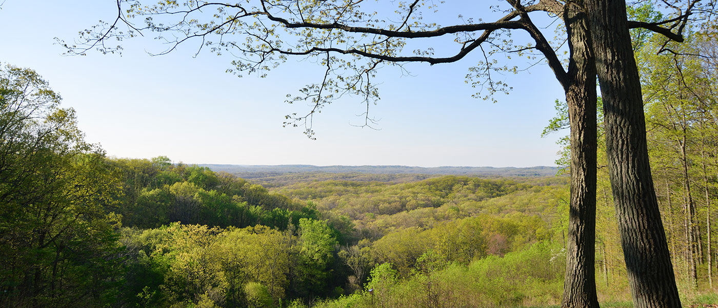
Nicknamed the “Little Smokies” because of the area’s resemblance to the Great Smoky Mountains, Brown County encompasses nearly 16,000 acres of rugged hills, ridges, and fog-shrouded ravines. Glaciers from the most recent ice ages stopped short of the “hills o’ Brown,” but their meltwaters helped create the narrow ridges, steep slopes, and deep gullies of Brown County State Park. Indiana’s largest park is a traditional fall color hot spot, with nearly 20 miles of tree-lined roads and many scenic vistas overlooking miles of uninterrupted forestland.
The park’s rustic Abe Martin Lodge offers accommodations that include motel rooms, cabins, dining and conference facilities, and an indoor water park. Large campgrounds, hiking and mountain biking trails, interpretive services, a saddle barn for guided horse rides, and a separate horseman campground with 70 miles of horse trails are some of the things that make Brown County State Park popular year-round.
During the summer, pool hours may change because of weather and staffing. Please contact the property office for exact times before your visit.
The surrounding county and nearby Indiana town of Nashville are famous for their unique shopping, dining, arts and crafts, history, entertainment, and outdoor adventure opportunities.
Top five things to do
- Climb the 90’ Fire Tower for a breathtaking view of the hills o’ Brown.
- See the rare (and state-endangered) Yellowwood tree on Trail 5.
- Visit the nature center to see the rare, state-endangered timber rattlesnake.
- Jump in the Water Park pool, newly constructed at Abe Martin Lodge.
- Watch a sunrise or sunset from a vista.
Stay connected
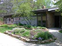
- Nature Center

P.O. Box 608, State Road 46
Nashville, IN 47448
812-988-5240At this time, days of operation and open hours may have changed temporarily. Please call ahead for specific dates and times when the nature center is open to the public.
- Activities
- Shelters
(Shelter Reservations) - Bridle Trails
- Saddle Barn - guided trail rides (812-988-8166)
- Picnic Tables
- Fishing / Ice Fishing
- Hiking Trails
- Mountain Bike Trails
- Brown County Mountain Bike Trails
- "Bike" magazine says Brown County SP trails among the best on the continent.
- Tennis Courts
- Open Fields
- Playground Equipment
- Seven Vista Challenge
- Swimming / Pool (Policy). Call office for hours.
Camping - See campground maps under MAPS tab
- RVs Use West Gate
- Electric / 401 sites
- Non-Electric / 28 sites
- Rally / 60 sites
- Horsemen's - Entrance off 135 South
- Electric / 118 sites
- Non-Electric / 86 sites
- Youth Tent Areas
- Camp Store
- Dumping Station
INFORMATION
- Shelters
- Trails
Note: For trail locations, view the property map under the MAPS tab.
Brown County State Park offers a motorized wheelchair that can be taken on trails and around facilities.
1. LODGE TRAIL, Moderate, (.9 mile)—Joins with Trail 2 for a short distance to return near lodge. Walk through land wooded with oak, hickory, sassafras, beech and maple.
2. CCC TRAIL, moderate, (2 miles)—CCC-built trail with impressive stone bridges, stairways and retaining walls. Starts and ends behind the lodge. Passes near Lower Shelter and North Lookout Tower.
3. SADDLE BARN LOOP TRAIL, Moderate, (1.25 miles)—Traverses a variety of topography. Passes saddle barn and amphitheater and returns to lodge. Varieties of ferns can be seen in the ravines and on the slopes.
4. RALLY CAMPGROUND TRAIL, Moderate, (1.25 miles)—Starts near the front of the Rally Campground and leads through upland terrain to a deep ravine at the headwaters of Ogle Lake. Joins Trail 7 for a short distance. Meets with Trail 5 at Ogle Hollow Nature Preserve.
5. OGLE HOLLOW NATURE PRESERVE TRAIL, Rugged, (.75 mile)—Self-guided trail starts near the parking lot for Rally Campground and follows a slope wooded with yellowwood trees, loops through the nature preserve and intersects with Trail 4 from Ogle Lake.
6. STRAHL LAKE TRAIL, Easy/Rugged, (.75 mile)—Easy walk around Strahl Lake but challenging .5 mile-spur to the Nature Center.
7. OGLE LAKE TRAIL, Moderate, (1.5 miles)—A hilly, wooded hike along the shores of Ogle Lake.
8. HHC TRAIL, Moderate, (3.5 miles)—Extends east from west lookout, continues to near Hesitation Point, and then southwest to parking area at Ogle Lake and Trail 7. Trail was improved by volunteers from the Hoosier Hikers Council 2002-2007.
9. TAYLOR RIDGE TRAIL, Rugged, (3.0/2.75 miles)—Starts near site 324 in campground. No parking at trailhead. Travels ridge top beyond campground, dropping into adjacent valley to follow stream before looping back to ridge top. A 2.75-mile extension connects to Trail 7 near Ogle Lake.
10. FIRE TOWER TRAIL, Rugged, (2.2 miles)—Follows ridge behind fire tower before looping northward crossing deep ravines and hilltops. Passes CCC shelter.
FRIENDS TRAIL, Easy—Short, easy, paved trail, with benches and vista on flat terrain. Constructed by the Friends of Brown County State Park.
DISCOVERY TRAIL, Moderate, (.5 mile)—Self-guided nature trail. Brochure available at the trailhead at the south end of the Nature Center parking lot.
- Maps
- Photos, Video & Audio
Brown County State Park Auto Tour
This auto tour covers major spots in Indiana's Brown County State Park. It was produced by Indiana DNR staff. Plan on at least one hour for the tour, more if you plan on stopping at other points of interest along the way. Start the audio in the Nature Center parking lot. Note your odometer reading or set your trip odometer to zero at the beginning of the tour. Exit the Nature Center parking lot at the south end. Then proceed past the Raccoon Ridge and Taylor Ridge campground. Consult the maps below to find the five stations along the tour. The park speed limit is 30 MPH. Some steep hills and sharp curves will require you to go slower. Please drive carefully.
Abe Martin Lodge Walking Tour
Download these files to your smartphone.
Loading events


