- Summit Lake State Park Alerts (1)
- BLUE-GREEN ALGAE: Found in lakes year round. Don't drink the water. Shower after you swim. More information.
Description
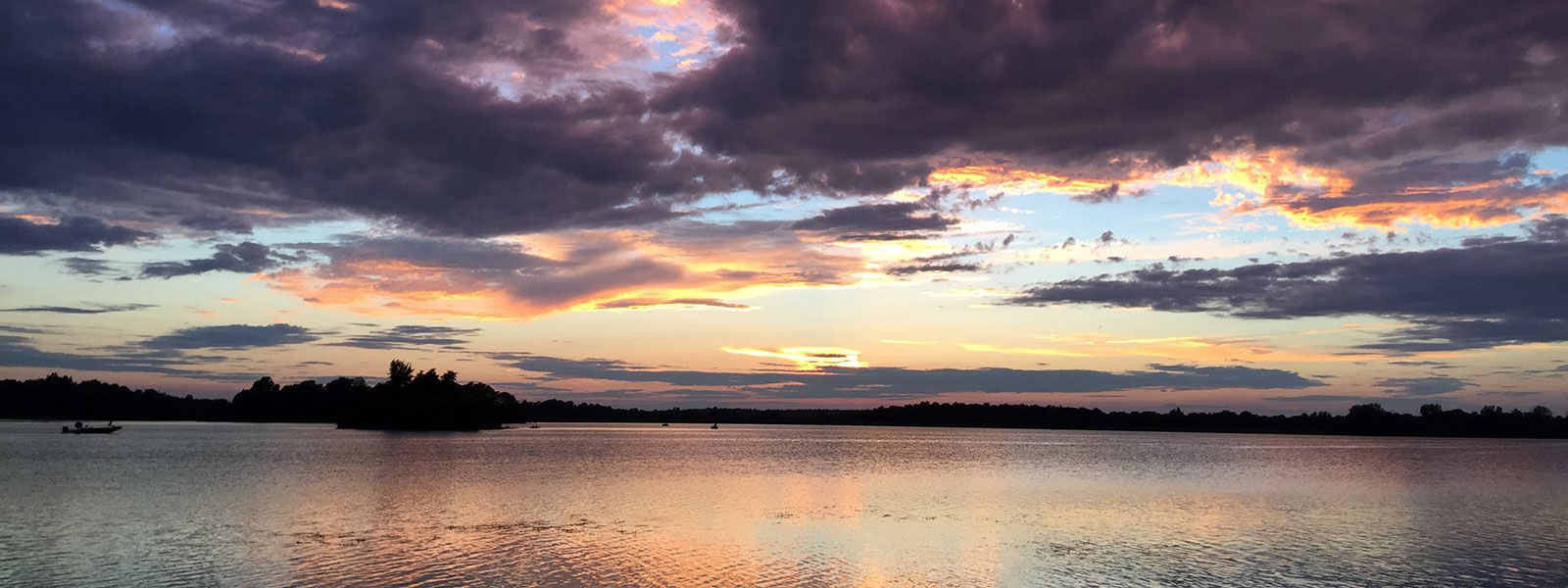
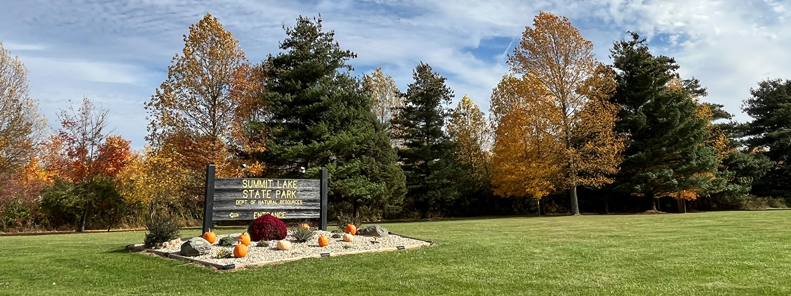
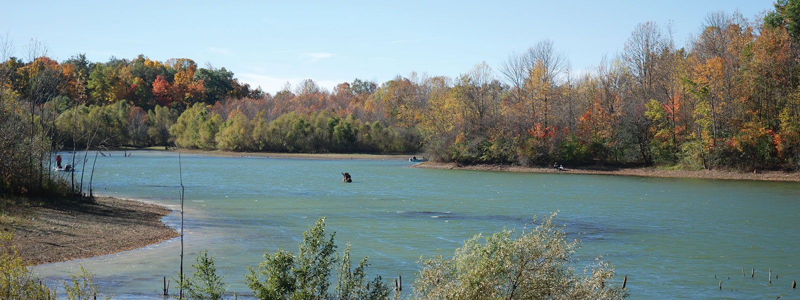
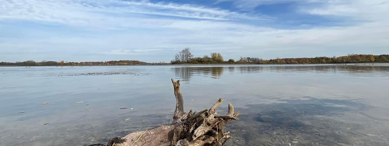
An expansive view and good fishing beckon you to Summit Lake State Park, near New Castle. More than 2,680 acres, including a large lake, await your visit. Facilities include 120 electric campsites, three boat ramps, a beach bathhouse and two large open shelters that can be reserved for family picnics and other events.
Summit Lake has an excellent bird watching and wildlife observation area. The property has always been an important area for waterfowl because of the many low-lying wet meadows and prairies. Migratory species have included rare species like the black tern, bald eagle, sandhill crane, American bittern, least bittern, king rail and osprey.
Zeigler Woods, in the southwest corner of the park, is Henry County’s first nature preserve. Zeigler Woods has rich flora and fauna with little evidence of human disturbance.
- Activities
- Birdwatching
- Boating, three launch ramps, boat motor / idle speed only
- Canoe, kayak, rowboat rentals
- 2 Kayak Trail Challenge
- Fishing / ice fishing
- Hiking trails
- Swimming / beach (ppolicy)
- Picnic areas w/shelters (shelter reservations)
- Interpretive Naturalist Services (seasonal)
- Cross county skiing (no ski rental)
Camping
Nearby
- Trails
Note: For trail locations, view the property map.
1. PRAIRIE TRAIL-MODERATE (2 miles)—Starts in the open but soon enters the largest wood lot in the park. Hikers will see areas of oak-hickory mixed with cherry, ash and areas of beech-maple mix. The topography includes uplands and low glacial depressions. The remainder of the trail traverses open rolling established prairie, with views of the lake.
2. CAMPGROUND-MODERATE (1.25 miles)—Starts in the small oak-hickory woods, with a glacial depression that stays wet year-round. The trail then goes through some scrub growth on the edge of the fields, then into open fields across rolling terrain, with excellent views of the lake.
3. BEACH TRAIL- Accessible (.9 mile) —This trail has a firm and stable surface with less than 2% cross slopes, grades no greater than 5% and widths no less than 60 inches. The trail starts in a small wooded lot. The trees include maple, oak and cherry. The remainder of the trail is mostly open, with views of the lake across rolling topography. Details about this and other accessible trails.
4. SELF-GUIDED NATURE TRAIL-MODERATE (.75 mile)—The trail begins in a field of prairie grasses punctuated with the bright colors of wildflowers in the summer. It winds through a meadow with young tuliptrees, second-growth shrubs and a wet area with a short boardwalk. The trail ends with a scenic view of the lake. Hikers may see waterfowl, swallows and other water-loving birds, depending on the season. A bench along the path offers a quiet resting place for bird watching.
PLEASE STAY ON MARKED TRAILS.
Loading events


