Frances Slocum State Forest advisories
- None at this time.
Description
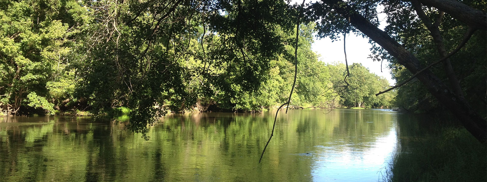
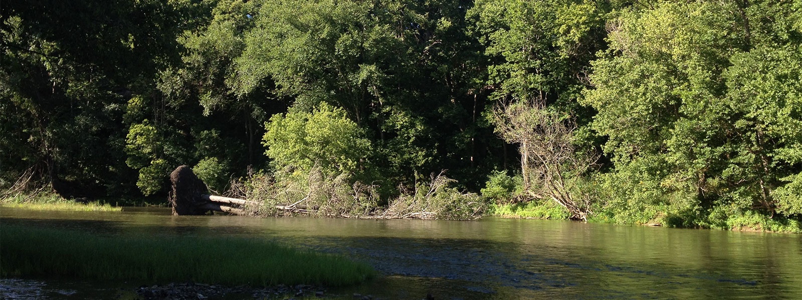
Frances Slocum State Forest is for day-use only. It is approximately 5 miles southeast of Peru and north of the Mississinewa Lake dam. The state forest encompasses 515 acres of contiguous forested landscape along the northern bank of the Mississinewa River. While once a larger state forest, some acreage was used during construction of the reservoir.
Most of this land was purchased between 1938 and 1941. A 20-acre parcel was added in 1992.
There are two parking areas managed by the Division of Forestry providing access to the state forest. A small parking area is at the end of South County Road 510 East, and a horse day-ride parking area is off South County Road 625 East. A third parking option, managed by the U.S. Army Corps of Engineers, is below the dam (Peoria Fishing Site).
No camping is allowed.
Horse riders are required to have an annual bridle tag or day-use permit. Riding is only allowed on designated trails.
All visitors are encouraged to wear hunter orange during hunting season.
- Activities
- Bridle Trails (day-use only, parking area is off South County Road 625 East at trailhead)
- Fishing
- Hiking
- Hunting (hunters must follow all state regulations)
- Mushrooming
- Wildlife Viewing
- Trails
- Horse Trail: This is a relatively easy trail consisting of mainly flat topography. The trailhead is off South County Road 625 East. The trail meanders through the state forest A section of trail parallels the Mississinewa River providing a scenic view.


