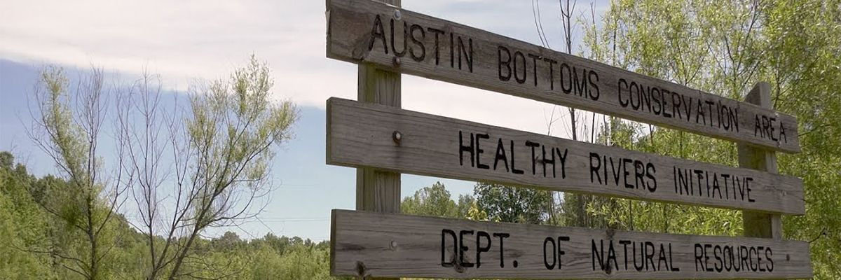
- Austin Bottoms Conservation Area Alerts
- None at this time.
Popular activities
- Fishing
- Sage’s Ferry Public Access Site is on the Muscatatuck River off S.R. 39.
- Shoreline fishing is allowed.
- All size and bag limits apply. See Fishing Regulations for details. View fishing locations on our Where to Fish map.
- Hunting
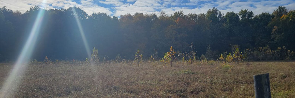
- The area is mainly bottomland hardwoods interspersed with wetlands. Hunting is available for deer, turkey, squirrel, and waterfowl. Furbearers are also abundant throughout the area. Limited opportunities are available for rabbit, quail, and woodcock.
- There are no draws for reserved hunting.
- No check-in is required to hunt or fish on the area.
- Youth can hunt during special youth seasons.
- All hunting seasons and bag limits apply. See Hunting Regulations for details.
Deer
- Antlerless deer cannot be taken with a firearm during firearms season at Austin Bottoms Conservation Area.
- Tree stands are allowed to be up overnight between Sept. 15 and Jan. 10.
- Trapping
- There is a draw for trapping. Contact Crosley Fish & Wildlife Area office for details.
- View statewide trapping regulations in the Hunting & Trapping Guide.
- Wildlife watching & birding
- The area is a great place to view a wide variety of birds and waterfowl. River otters, beavers, deer, and other mammals are also common.
More activities
- Biking
- Bicycling is allowed on all paved and gravel roads that are open to vehicle travel. There are no mountain bike trails and off-road travel is prohibited.
- Foraging
- Gathering berries, nuts, and mushrooms is allowed. Spring mushroom hunting is restricted to after noon during the spring turkey season.
- Hiking & walking
- While there are no designated trails, the property is open for exploration.
- Water recreation
- NO swimming allowed.
- Boating and canoeing are allowed. Austin Bottoms has no boat rental.
- Volunteering
- Need a reason to get outside and move? You can volunteer alone or in small groups at this property. Some activities include trash pick-up, basic gardening, painting, and more. Call the property office for details.
Other properties managed by Crosley Fish & Wildlife Area
- Crosley Fish & Wildlife Area provides 4,288 acres of steep to gently rolling hills and 7 miles of the Muscatatuck River for hunting and fishing. This FWA is in Jennings County south of North Vernon on S.R. 3.
- Splinter Ridge Fish & Wildlife Area is located 10 miles east of Madison on S.R. 56. It offers 3,014 acres of woodlands and steep hills open for hunting.
- To learn more about the location and types of activity on these properties, view the Where to Hunt map.


