Location: On US 231 and SR 45, one and one tenth mile south of Haysville on the east side of the road (Dubois County, Indiana)
Marker No Longer Standing
Installed: Erected by the Indiana Sesquicentennial Commission, 1966
This marker has been replaced by marker 19.2018.1 Buckingham's Base Line.
ID#: 19.1966.1
Visit the Indiana History Blog to learn how the survey system defined Indiana's landscape and furthered democracy for white settlers at the expense of the Wyandot, Delaware, Shawnee, Ottawa, Miami, Eel River, Wea, Chippewa, Potawatomi, Kickapoo, Piankashaw, and Kaskaskia people who first made this land home.
Text
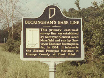
This primary east-west survey line was established by Surveyor-General Jared Mansfield and run by Surveyor Ebenezer Buckingham, Jr., in 1804. It intersects the Second Principal Meridian in Orange County at Pivot Point.
Keywords
early settlement, geography