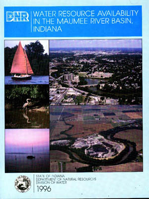
 This report includes information about the amount, location, and characteristics of surface water and ground water for the Maumee River Basin in Indiana. By comparing the supply potential of surface-water and ground-water systems with current and projected water use, areas of potential water-use conflicts and areas of underutilized water supply can be identified.
Topics covered in the Maumee River Basin report include:
- socioeconomic setting
- geologic framework
- climatic features
- surface-water hydrology and quality
- ground-water hydrology and quality
- current and projected water use
- potential for water-use conflicts
Charts and graphs are included throughout the report to describe technical concepts. Fold-out maps and color plates illustrate ground-water and surface-water availability, potentiometric contours, bedrock topography, transmissivity, drift thickness, land use, and water withdrawals. A summary of this report is available on our site.
Plate map 1 in Adobe Acrobat format (3,564 kb)
(UNCONSOLIDATED AND BEDROCK AQUIFERS)
- map is approximately 38% of printed size
Plate map 2 in Adobe Acrobat format (2,258 kb)
(GENERALIZED POTENTIOMETRIC SURFACE MAP FOR UNCONSOLIDATED AND
BEDROCK AQUIFERS)- map is approximately 38% of printed size
Cover through page 7 in Adobe Acrobat format (311 kb)
(includes Table of Contents and Introduction)
Pages 8-23 in Adobe Acrobat format (404 kb)
(Socioeconomic Setting chapter)
Pages 24-57 in Adobe Acrobat format (1,683 kb)
(Physical Environment chapter)
Pages 58-122 in Adobe Acrobat format (1,902 kb)
(Surface-Water Hydrology chapter)
Pages 123-167 in Adobe Acrobat format (1,382 kb)
(Ground-Water Hydrology chapter)
Pages 168-190 in Adobe Acrobat format (195 kb)
(Water Resource Development chapter)
Pages 191-235 in Adobe Acrobat format (307 kb)
(Glossary, Selected References, and Appendices)
